Dubai Metro Red Line: Complete Route, Stations, Map, Timings, Fares & Travel Guide 2026
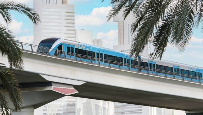
Dubai Metro Red Line is the backbone of Dubai’s public transportation network. Connecting major business districts, residential communities, tourist attractions, shopping malls, and airports, the Red Line serves millions of passengers every year. Running primarily along Sheikh Zayed Road, it provides a fast, affordable, and convenient way to travel across the city. The line stretches from Centrepoint Station in Al Rashidiya to Expo City Dubai and includes a branch serving Jebel Ali and surrounding communities.
Whether you are a tourist visiting Dubai or a resident commuting daily, understanding the Dubai Metro Red Line route, stations, timings, and fare system can help you save time and money.
What is Dubai Metro Red Line?
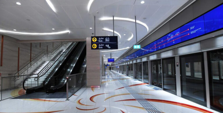
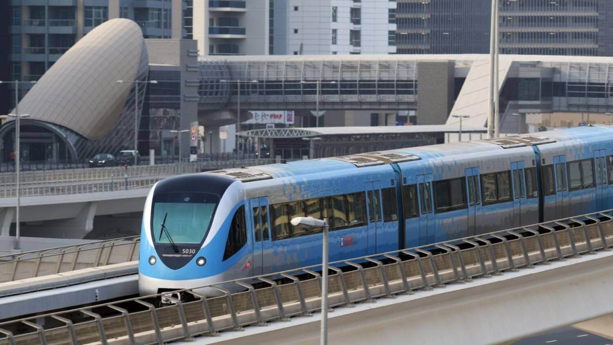
The Dubai Metro Red Line is the longest and busiest metro corridor in Dubai. Operated by the Roads and Transport Authority (RTA), it runs across the city connecting residential areas, commercial centers, tourist attractions, and Dubai International Airport. The line is fully automated and driverless, making it one of the most advanced metro systems in the world.
The Red Line is particularly popular because it provides direct access to:
- Dubai International Airport
- Downtown Dubai
- Dubai Marina
- Jumeirah Lakes Towers
- Mall of the Emirates
- Expo City Dubai
- Business Bay
- Dubai World Trade Centre
Overview of the Dubai Metro Red Line
- Line color: Red
- Status: Fully operational
- Length: ~52.1 km
- Stations: 35 total (31 mainline + 4 branch stations)
- Top speed: Up to 110 km/h
- Travel time (end to end): ~1 hour 14 minutes
- Daily ridership: 250,000+ passengers
- Operator: Roads and Transport Authority (RTA), Dubai
The Red Line serves both Dubai International Airport (DXB) terminals and Expo City Dubai, making it essential for tourists, commuters, and business travelers alike.
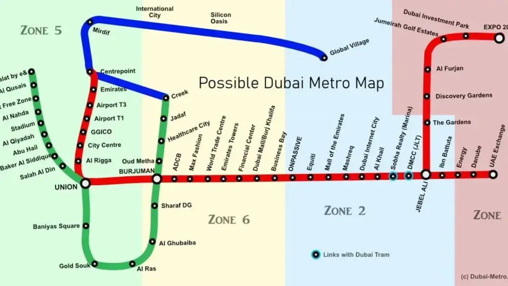
Red Line Route: From Centrepoint to Expo City Dubai
The Red Line runs east–west across Dubai with a Y-shaped configuration at Jabal Ali, enabling two direct services without mandatory interchanges.
Current Direct Routes (Post-April 2024)
- Centrepoint → Expo City Dubai
- Centrepoint → Life Pharmacy
- Centrepoint → Al Fardan Exchange (peak-hour operational routing)
This routing design significantly reduces congestion and eliminates forced transfers at Jabal Ali.
Red Line Metro Stations List 2026 Guide
| Name and Code | Location | Layout |
|---|---|---|
| R11 – Centrepoint | Al Rashidiya | Elevated |
| R12 – Emirates | Garhoud (junction of Airport Road and Marrakech Street) | Elevated |
| R13 – Airport Terminal 3 | DXB Airport Terminal 3 | Elevated |
| R14 – Airport Terminal 1 | DXB Airport Terminal 1 | Elevated |
| R15 – Al Garhoud | Garhoud | Elevated |
| R16 – City Centre Deira | Port Saeed | Underground |
| R17 – Al Rigga | Al Rigga | Underground |
| R18 – Union | Al Rigga (near Dubai Creek) | Underground |
| R19 – Burjuman | Intersection of Sheikh Khalifa Bin Zayed Street and Khalid Bin Al Waleed Road | Underground |
| R20 – ADCB | Al Karama | Elevated |
| R21 – max | Sheikh Zayed Road between the Dubai World Trade Centre and Al Satwa | Elevated |
| R22 – World Trade Centre | Sheikh Zayed Road between the Dubai World Trade Centre and Al Satwa | Elevated |
| R23 – Emirates Towers | Sheikh Zayed Road nearby Museum of the Future | Elevated |
| R24 – Financial Centre | Between DIFC and Al Satwa | Elevated |
| R25 – Burj Khalifa/Dubai Mall | Downtown Dubai | Elevated |
| R26 – Business Bay | South of Downtown Dubai (near Safa Park) | Elevated |
| R29 – ONPASSIVE | Sheikh Zayed Road between Al Safa and Al Quoz | Elevated |
| R31 – Equiti | Sheikh Zayed Road near the major junction with Umm Suqeim Street | Elevated |
| R32 – Mall of the Emirates | Sheikh Zayed Road, between Al Sufouh and Al Barsha | Elevated |
| R33 – InsuranceMarket | Sheikh Zayed Road, between Al Barsha and Al Sufouh | Elevated |
| R34 – Dubai Internet City | Sheikh Zayed Road between Dubai Internet City and Barsha Heights (TECOM) | Elevated |
| R35 – Al Fardan Exchange | Sheikh Zayed Road between Emirates Golf Club and Dubai Media City | Elevated |
| R36 – Sobha Realty | Sheikh Zayed Road between Jumeirah Lake Towers and Dubai Marina | Elevated |
| R37 – DMCC | South end of JLT and Dubai Marina | Elevated |
| R38 – Jabal Ali | Jebel Ali Free Zone | Elevated |
| R39 – Ibn Battuta | Sheikh Zayed Road between D591 and D59 | Elevated |
| R40 – Energy | Sheikh Zayed Road near junction with road D57 | Elevated |
| R41 – Danube | Sheikh Zayed Road between E77 and D57 road junctions | Elevated |
| R42 – Life Pharmacy | Sheikh Zayed Road by Downtown Street | At Grade |
| R70 – The Gardens | Gardens Boulevard | Elevated |
| R71 – Discovery Gardens | West of Discovery Gardens | Elevated |
| R72 – Al Furjan | Between Discovery Gardens and Al Furjan | Elevated |
| R73 – Jumeirah Golf Estates | Nearby D57 and E311 junctions | Underground |
| R74 – Dubai Investment Park | By Green Community in DIP | Underground |
| R76 – EXPO 2020 | By Green Community in DIP | Elevated |
Major Areas and Landmarks Served
The Red Line provides direct or near-direct access to Dubai’s most important destinations:
- Dubai International Airport (Terminal 1 & Terminal 3)
- Deira & Old Dubai (City Centre Deira, Al Rigga)
- Downtown Dubai (Burj Khalifa, Dubai Mall)
- DIFC & World Trade Centre
- Mall of the Emirates
- Dubai Marina & JLT
- Ibn Battuta Mall
- Expo City Dubai
Few metro systems globally connect airports, financial districts, shopping hubs, and exhibition cities on a single line with this level of efficiency.
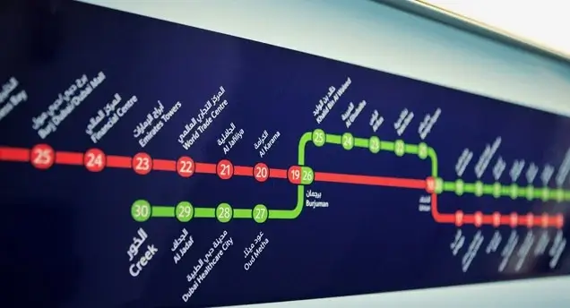
Interchange & Connectivity Points
Red Line ↔ Green Line
- Union Station (R18 / G20)
- BurJuman Station (R19 / G26)
These interchanges connect Deira, Karama, and older residential districts to the wider metro network.
Red Line ↔ Dubai Tram
- Sobha Realty Station (R36)
- DMCC Station (R37)
These links enable seamless access to Dubai Marina, JBR, and Bluewaters Island.
Route 2020 Extension Explained
The Route 2020 project was developed to support Expo 2020 Dubai and remains a long-term strategic corridor.
- Length: 15 km
- Stations: 7 (5 elevated, 2 underground)
- Opened fully: June 2021
- Future-ready: Designed for extension toward Al Maktoum International Airport
Platforms on this branch are wider to accommodate large-scale event traffic and future population growth in Dubai South.
Dubai Metro Red Line Timings
Operating Hours (Typical)
- Monday to Thursday & Saturday: 05:00 am – 12:00 am
- Friday: 05:00 am – 01:00 am
- Sunday: 08:00 am – 12:00 am
Peak Hours
- Morning: 07:00 am – 09:00 am
- Evening: 04:00 pm – 08:00 pm
During peak times, trains operate as frequently as every 2 minutes and 38 seconds.
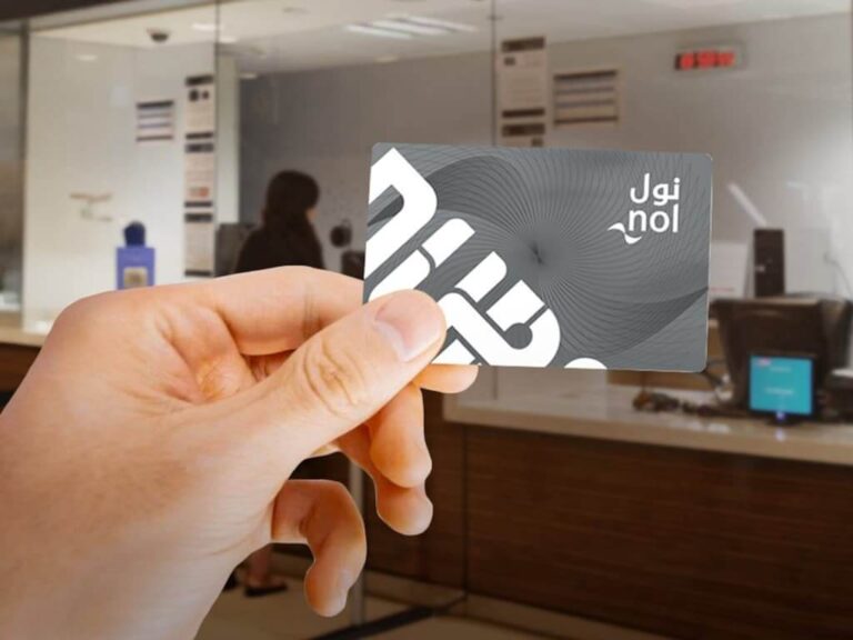
Fares, Nol Cards & Ticketing
The Red Line uses Dubai’s zone-based fare system.
Nol Card Options
- Red Ticket: Occasional users and tourists
- Silver Nol Card: Best value for regular travel
- Gold Nol Card: Access to Gold Class cabins
- Personal (Blue) Nol Card: Registered, long-term users
Fare Range
- Starts from: AED 3
- Depends on: Number of zones crossed
Cash payments are not accepted; all journeys require a Nol card or ticket.
Speed, Capacity & Operational Efficiency
- Maximum speed: 110 km/h
- Station dwell time: 20–30 seconds
- Passenger capacity: ~16,000 per hour per direction
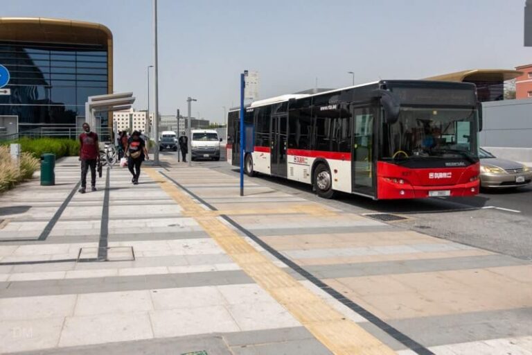
- Feeder buses: 170+ RTA routes integrated with stations
This efficiency makes the Red Line significantly cheaper and faster than taxis for long-distance travel across Dubai.
FAQs
What is the Red Line in Dubai Metro?
The Red Line is Dubai Metro’s main east–west corridor, connecting DXB Airport, Downtown Dubai, Sheikh Zayed Road, and Expo City Dubai.
How many stations are on the Red Line?
There are 35 stations, including 5 major interchange stations.
Which Red Line station serves Dubai Mall?
Burj Khalifa / Dubai Mall Station (R25) connects directly via an air-conditioned walkway.
Is the Dubai Metro Red Line cheaper than taxis?
Yes. Zone-based metro fares are substantially cheaper than taxis, especially for long routes.
Does the Red Line connect to Dubai Tram?
Yes, at the Sobha Realty and DMCC stations.
Conclusion
The Red Line Metro Dubai remains the backbone of the city’s transport network in 2026—linking airports, business hubs, residential zones, and iconic attractions through a fast, reliable, and fully automated system. Whether you’re checking the Dubai Metro Red Line stations list, navigating the metro red line map Dubai, or planning your journey using the latest red line metro timings, this line offers unmatched convenience across the emirate.
With its strategic route along Sheikh Zayed Road, seamless interchanges, and extension toward Expo City Dubai, the Dubai red line metro continues to set the standard for smart urban mobility. Its high frequency, affordable fares, and integration with buses, trams, and taxis make it the most efficient way to travel—whether for daily commuting or sightseeing.
For residents and visitors alike, understanding the red line metro route Dubai, knowing your nearest station, and using a Nol card effectively can transform how you move around the city. As Dubai continues to expand, the Red Metro Line Dubai will remain at the center of its future-ready transport ecosystem—fast, connected, and built for the modern traveler.